From CAMS data to an air quality report: context beyond a short monitoring campaign
Why historical air quality matters, what CAMS represents, and how I built a platform to simplify scientific data requests, processing and reporting.

ENVI JOURNAL
Notes on assessment, modelling and environmental data, adapted from Mostafa Aly’s professional writing.
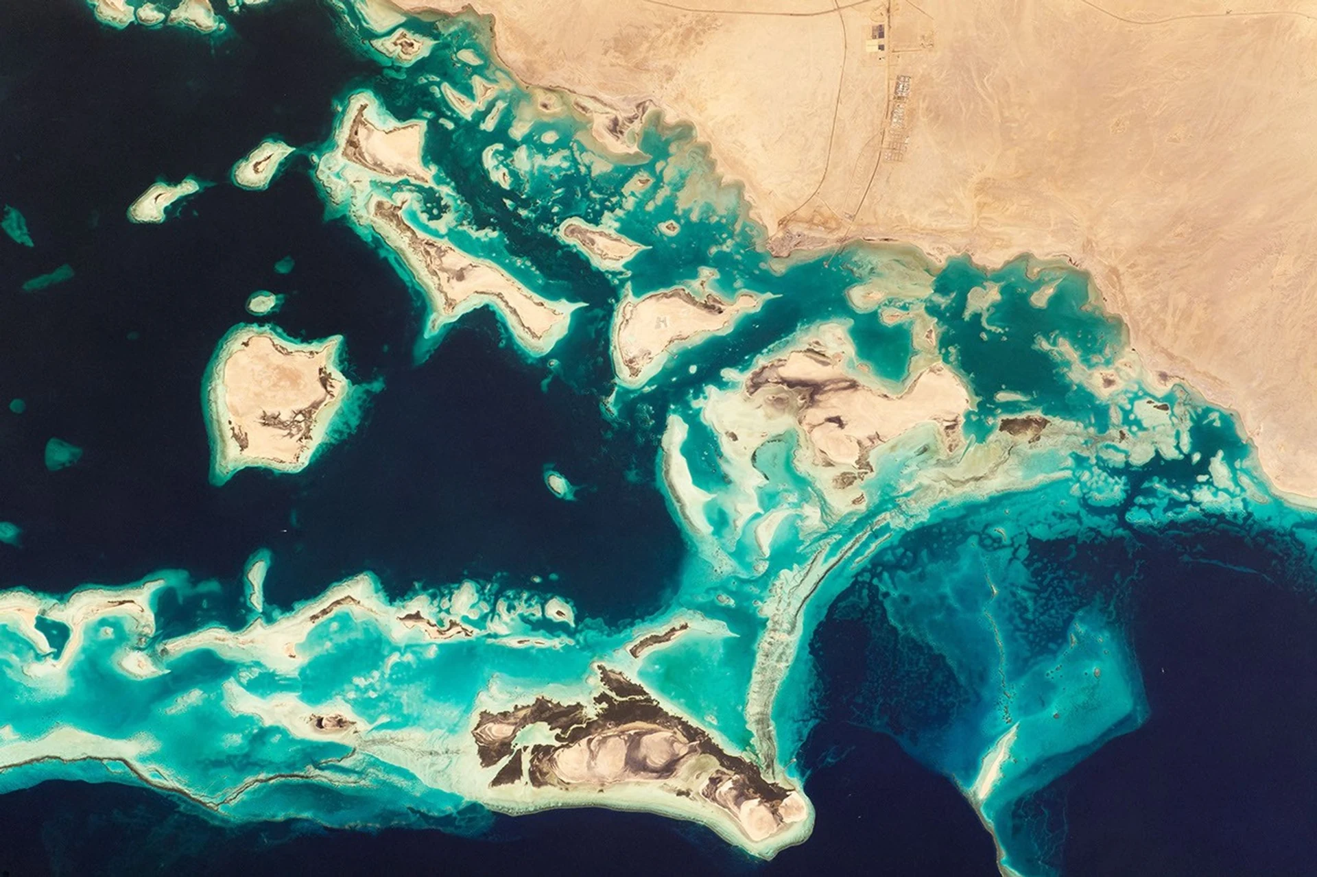 Earth observation · NASA / ISS
Featured insight
Why historical air quality matters, what CAMS represents, and how I built a platform to simplify scientific data requests, processing and reporting.
Read articleWhy historical air quality matters, what CAMS represents, and how I built a platform to simplify scientific data requests, processing and reporting.
Understanding the move from ISD to GHCNh, changes in AERMET and the different role of gridded products available through NASA POWER.
Two project experiences show how scenario analysis can inform a stack design and an odour-control requirement before specifications are fixed.
Background and project contributions explained with a numerical example, the US PSD framework, BACT and the role of monitoring and public review.
The story behind a browser-based workflow connecting environmental datasets, EPA processors, model execution and project deliverables.
A practical learning path through water, air and noise applications, connecting scientific understanding, data, software, case studies and reporting.
A detailed explanation using SO₂, NO₂ and PM10 concentrations, wind conditions and stack properties to connect inputs with outputs.
From a floating ship and a distance calculation to computer-based solutions: understanding model classifications and using them to answer the right question.
Follow a substance from an industrial process through air, water or soil to receptors, deposition, transformation and exposure.
The content and experience of my practical session: data and map fundamentals, followed by GBIF, Earthdata and Copernicus in one GIS project.
Applications in biodiversity, drainage, erosion, local climate, visibility and air dispersion, with a practical route from data download to GIS analysis.
Understand the platform, search and download records, connect them with terrain and land cover, and evaluate what the evidence can support.
An introduction to the Copernicus system and services, followed by land-cover analysis alongside biodiversity and terrain data.
My experience of understanding PDCA, applying it to work and learning, and improving an edition-gap analysis through specialist review.
© 2026 ENVI Digital. All rights reserved.
