
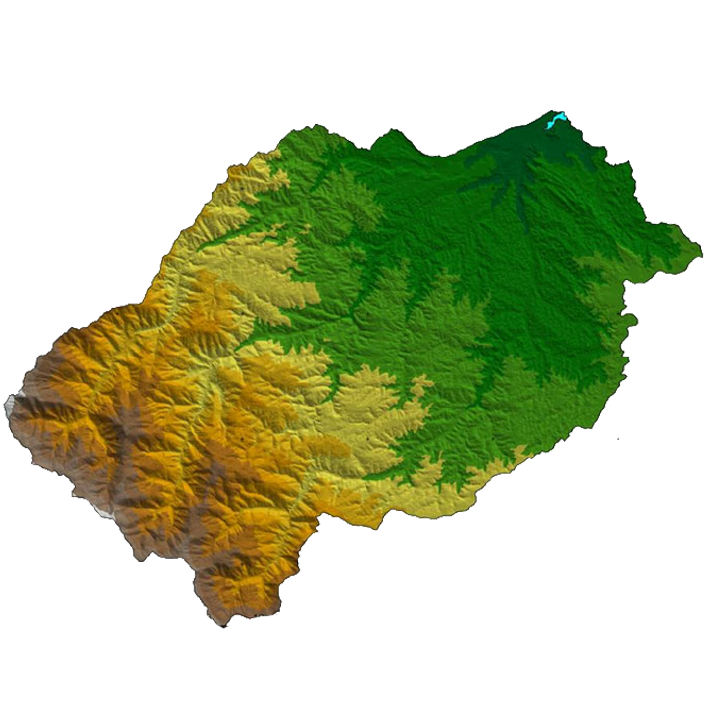
Weather, terrain and land use shape environmental model results. We prepare meteorological inputs and organise spatial data to support assessment, dispersion modelling and clear presentation of the findings.
Scope & Deliverables
- WRF meteorological modelling
- Meteorological data processing and QA
- Terrain and land-use interpretation
- Receptor grids and GIS mapping
- Spatial data preparation and visualisation
What we need to get started
Study location and domain, relevant time period, model requirements and available terrain, land-use and meteorological datasets.
Discuss This Service